Miles walked today: 10.1 (according to the Garmin…my watch was almost 11 and Nancy’s Fitbit was over 12. I’m going with the Garmin as our official record keeper.)
Total trip miles: 18.3 (Of course, this doesn’t include any walking before or after we are on the trail.)
Elevation gain: 2,038 feet
Total elevation gain for trip: 3,390
Accommodation: The Shepherd Arms
I was so tired last night and kept dozing off while writing my blog, so I was pleased this morning when I checked to make sure I hadn’t accidentally messed it up. Today’s trek was longer, but I am feeling great. Tomorrow is our longest day at 15 miles and I’m taking it as a good sign that I still have something left in the tank tonight!
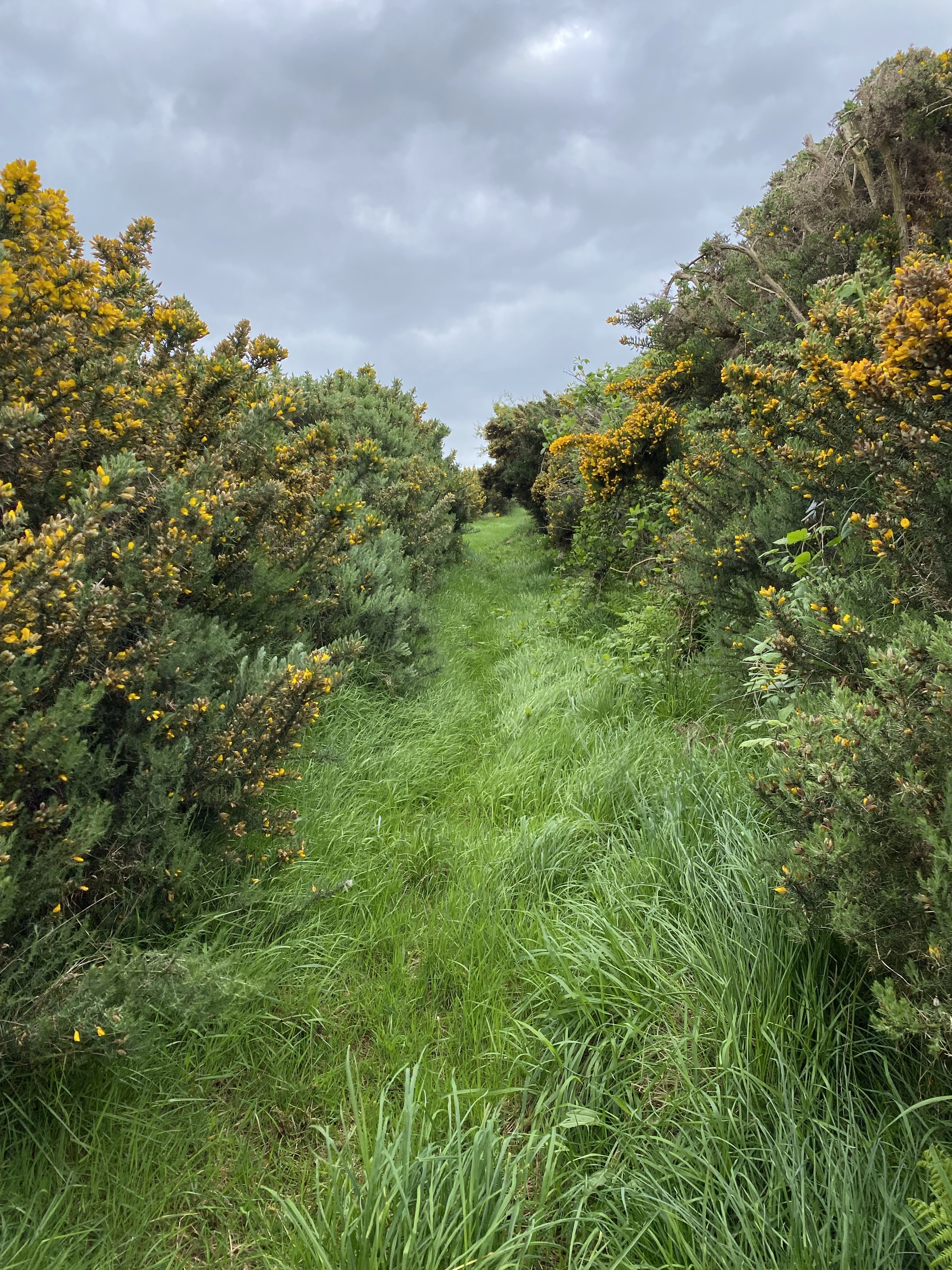
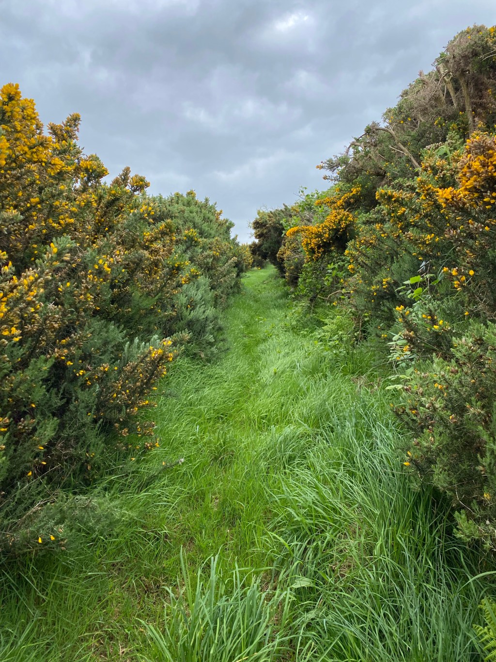
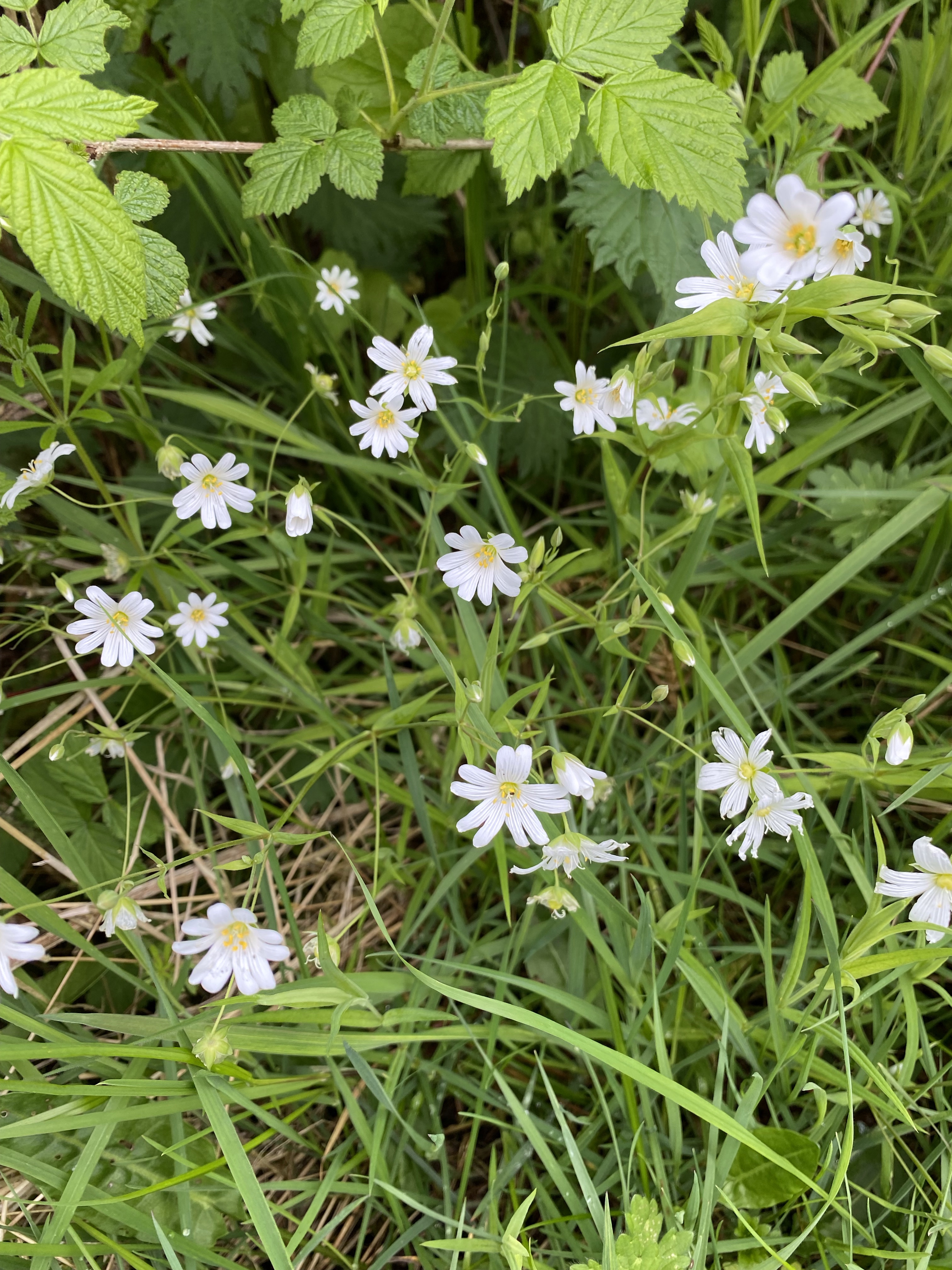
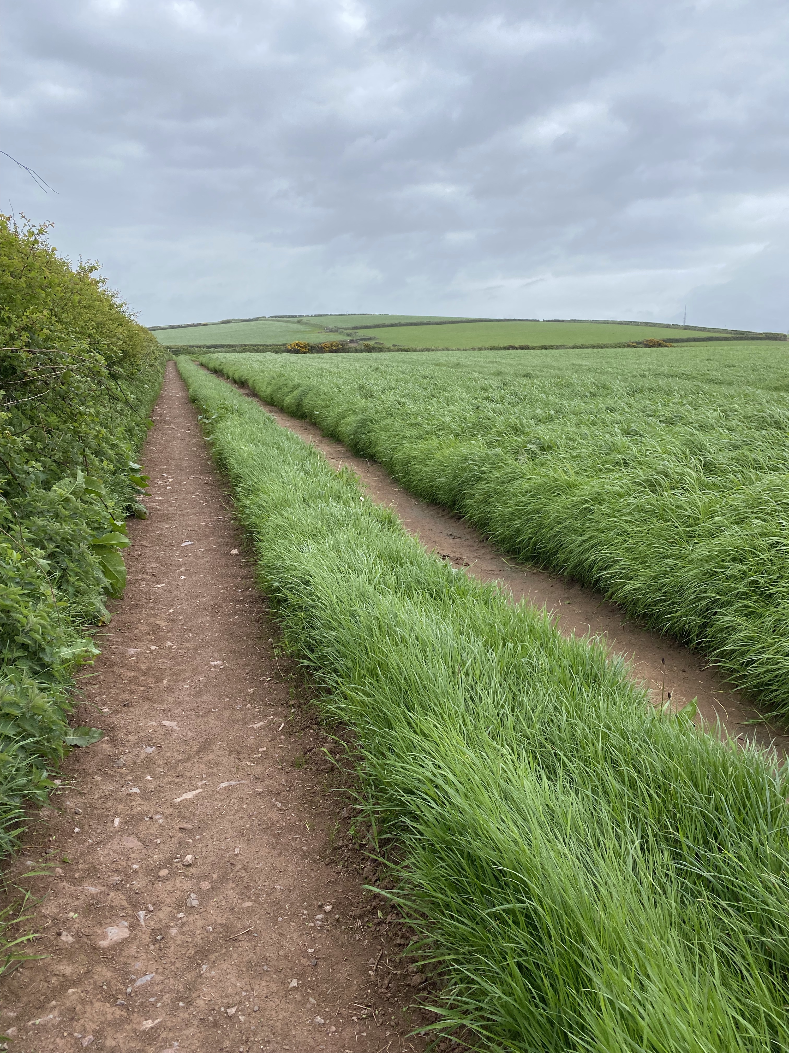
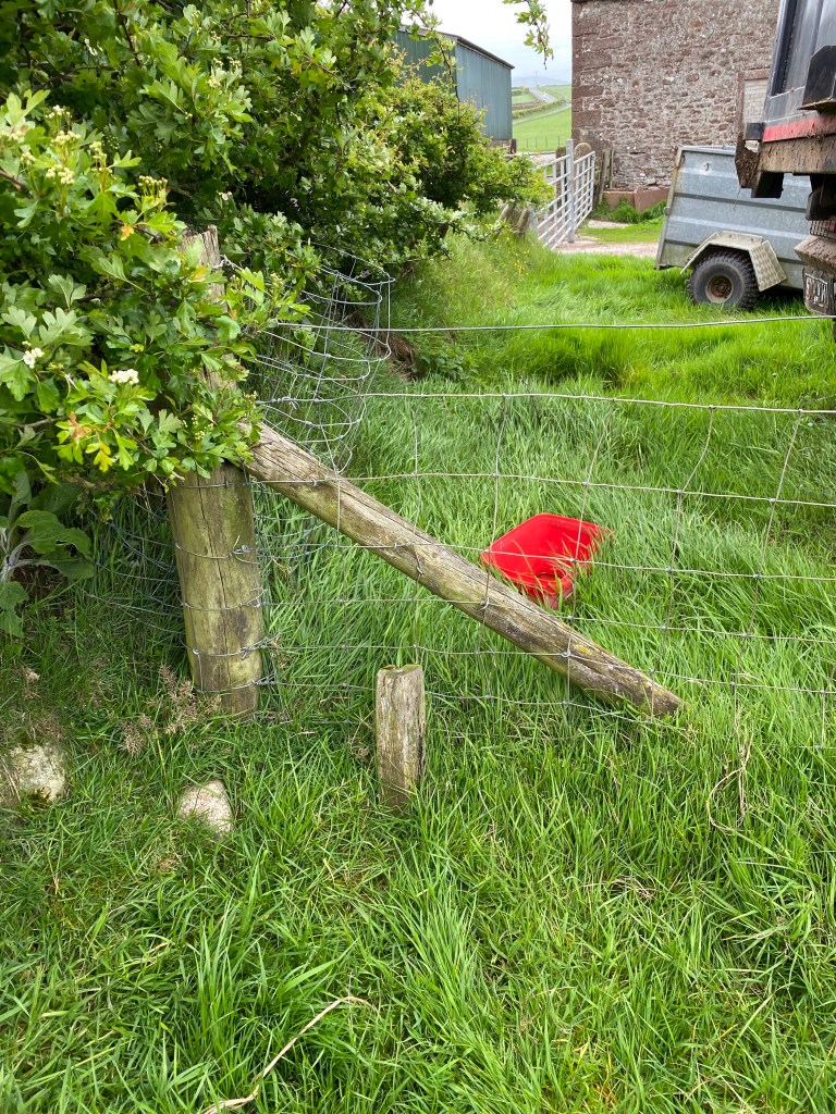
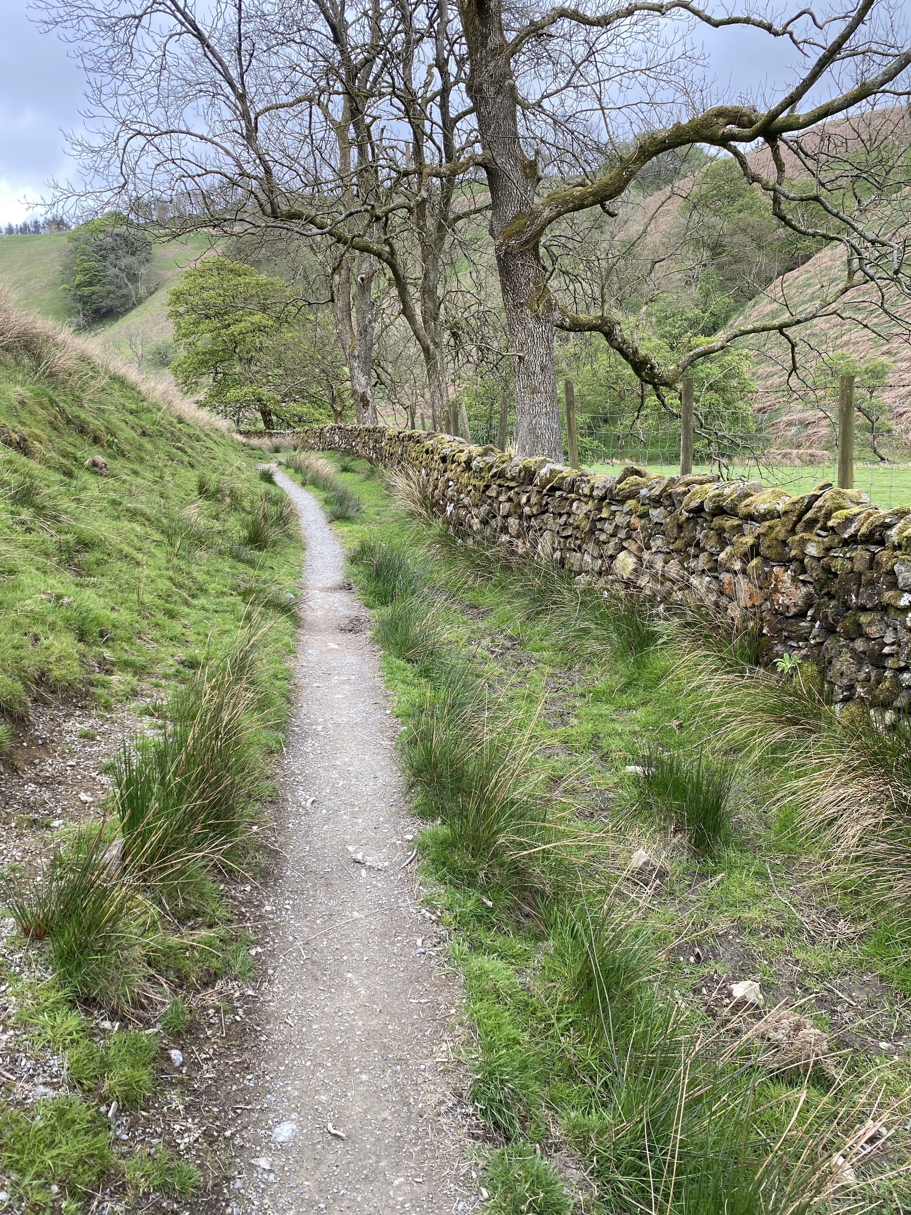
Going around St. Bees Head yesterday was such a good decision! Today we immediately headed northeast, walking on grassy, gorse-lined paths, backroads, and through farms and pastures. The Garmin helped immensely for finding our way on this little-used route.

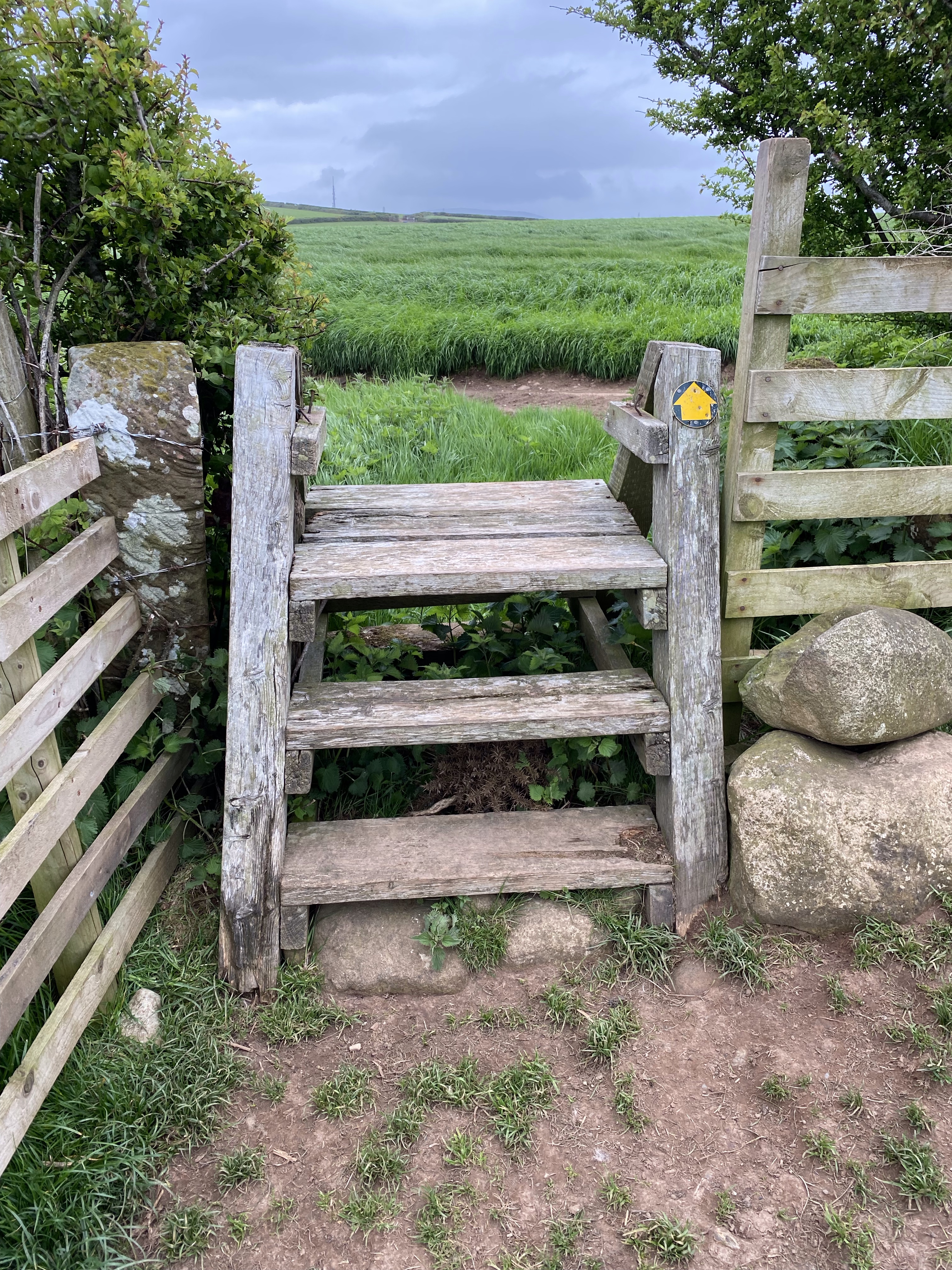
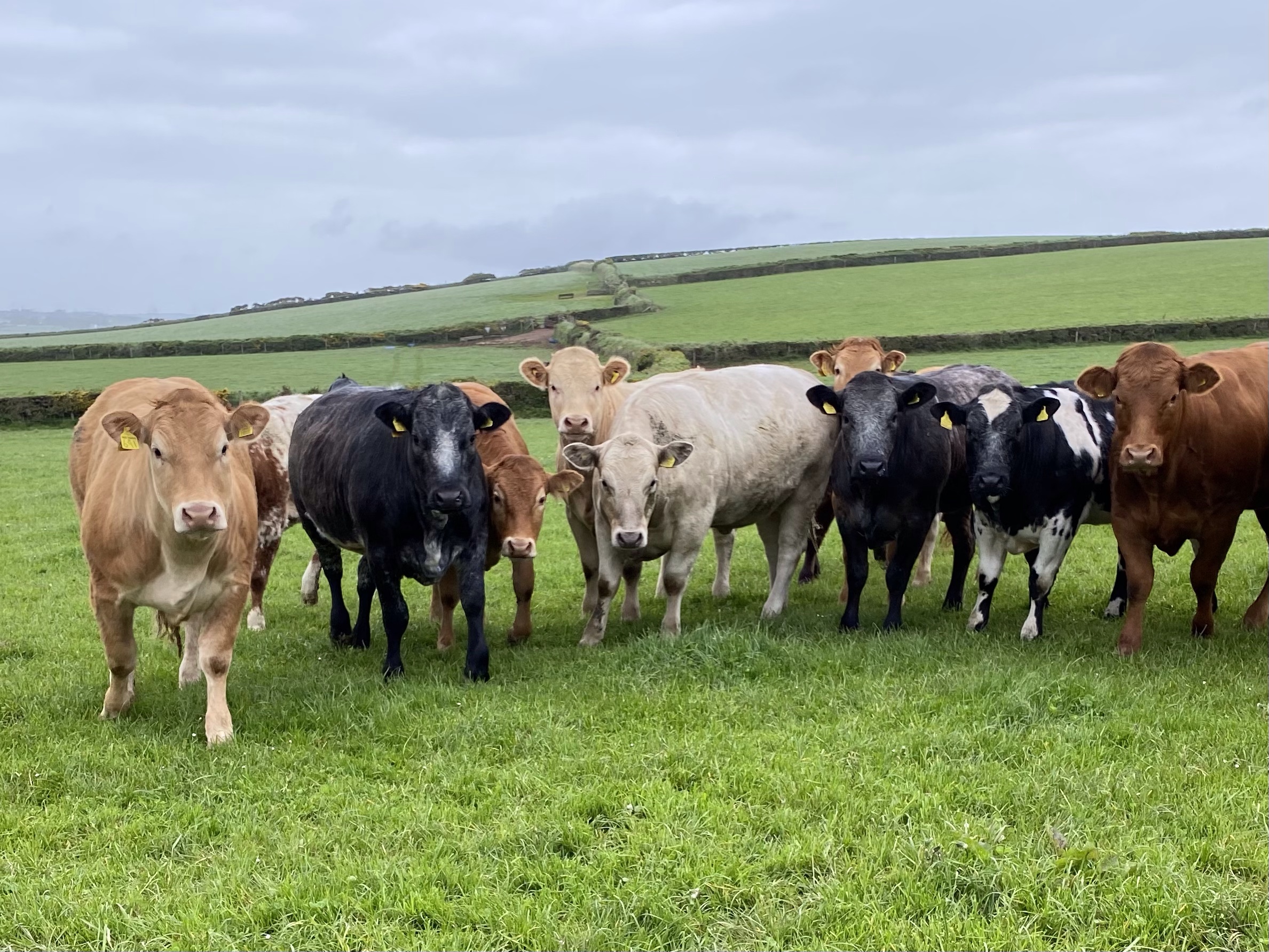
We had our first moments of trepidation as we started to cross a stile into another pasture. We looked up to see a wall of cows staring at us. Nancy immediately started checking to see if there were any bulls in the mix. I raised my arm with my pole in the air just as Nancy yelled “Shoo!” They all turned and ran to the middle of the field but then started coming back. We kept yelling shoo as we went up the side of the pasture, they came a little closer then all of a sudden they all ran to the far side of the field. We felt better as we got to the end of the pasture but as soon as they saw us turn the corner and head towards the corner that held their feed troughs they came running. We scrambled over the stile as they stood and looked at us. They weren’t really threatening but for two old ladies inexperienced with cows, it made our hearts race. I think they were just curious and hoping for a handout at their troughs. (I also think they might have been young steers, not cows, but I didn’t stop to look that closely!)
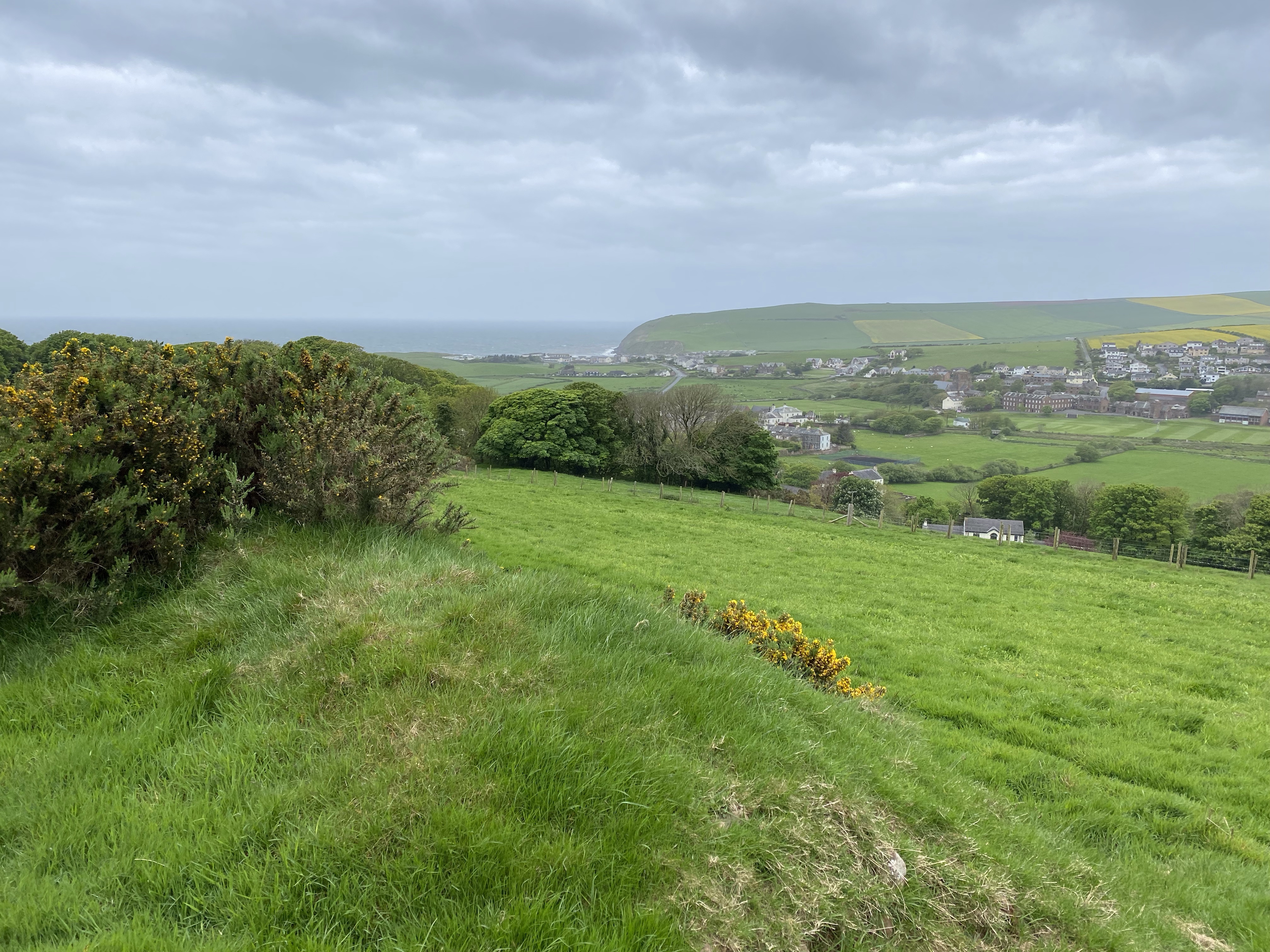
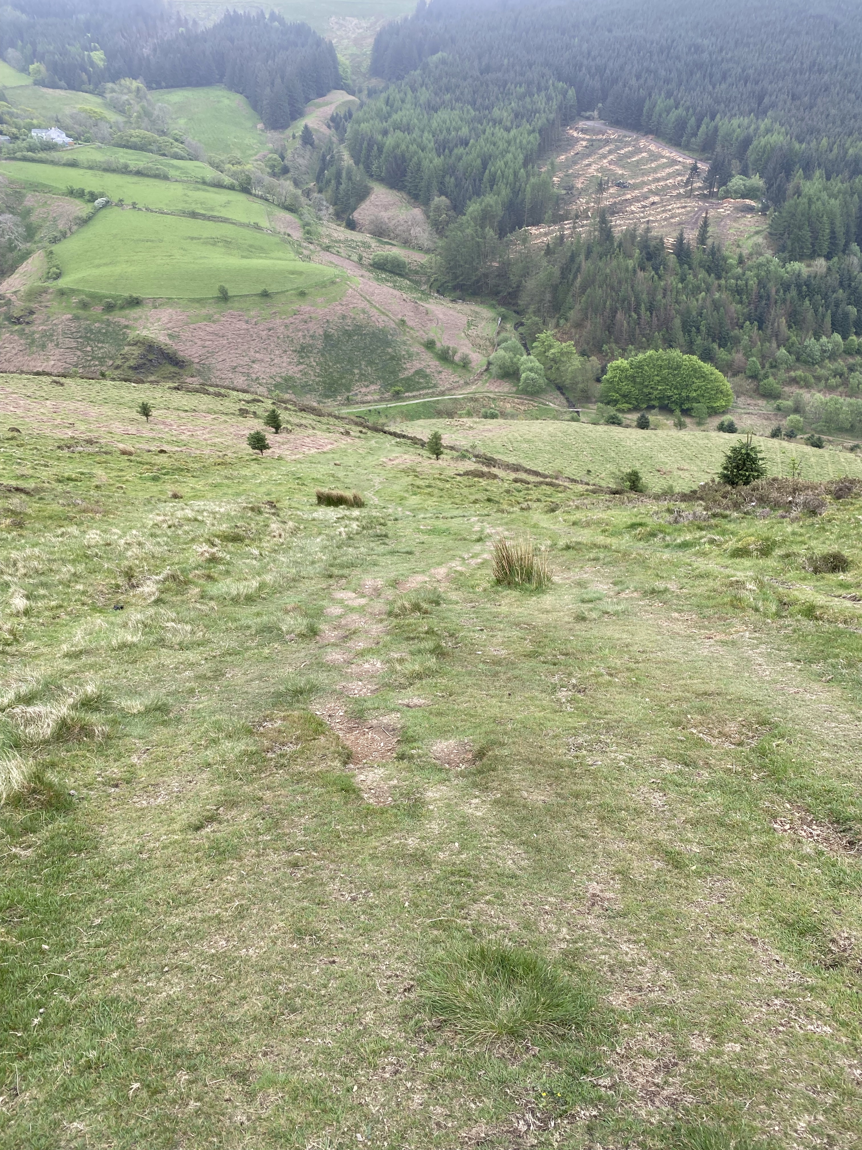
After the farms, we passed through a village with a busy road through the middle and before we knew it, we were back on the C2C route. We soon were headed up through a tree plantation and starting the ascent of Dent Hill. The plantation was really ugly. (They have ugly trees planted so densely and it’s dark and gloomy underneath with no underlying vegetation.) Once we left the plantation, though, we started being able to see some views. We could see in all directions, even back to the sea. It was such a gray day, though, so the view wasn’t what I’d call spectacular.

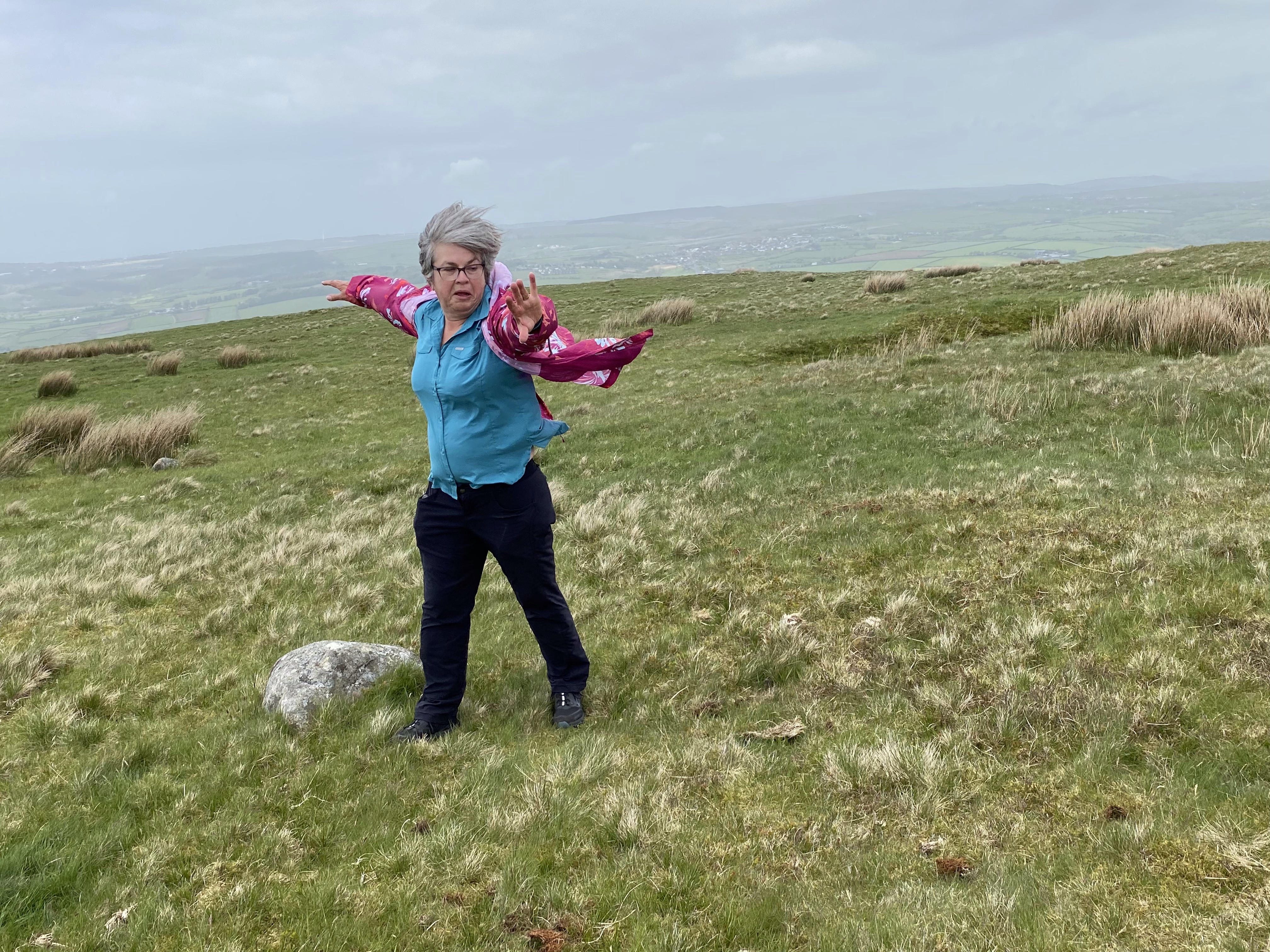
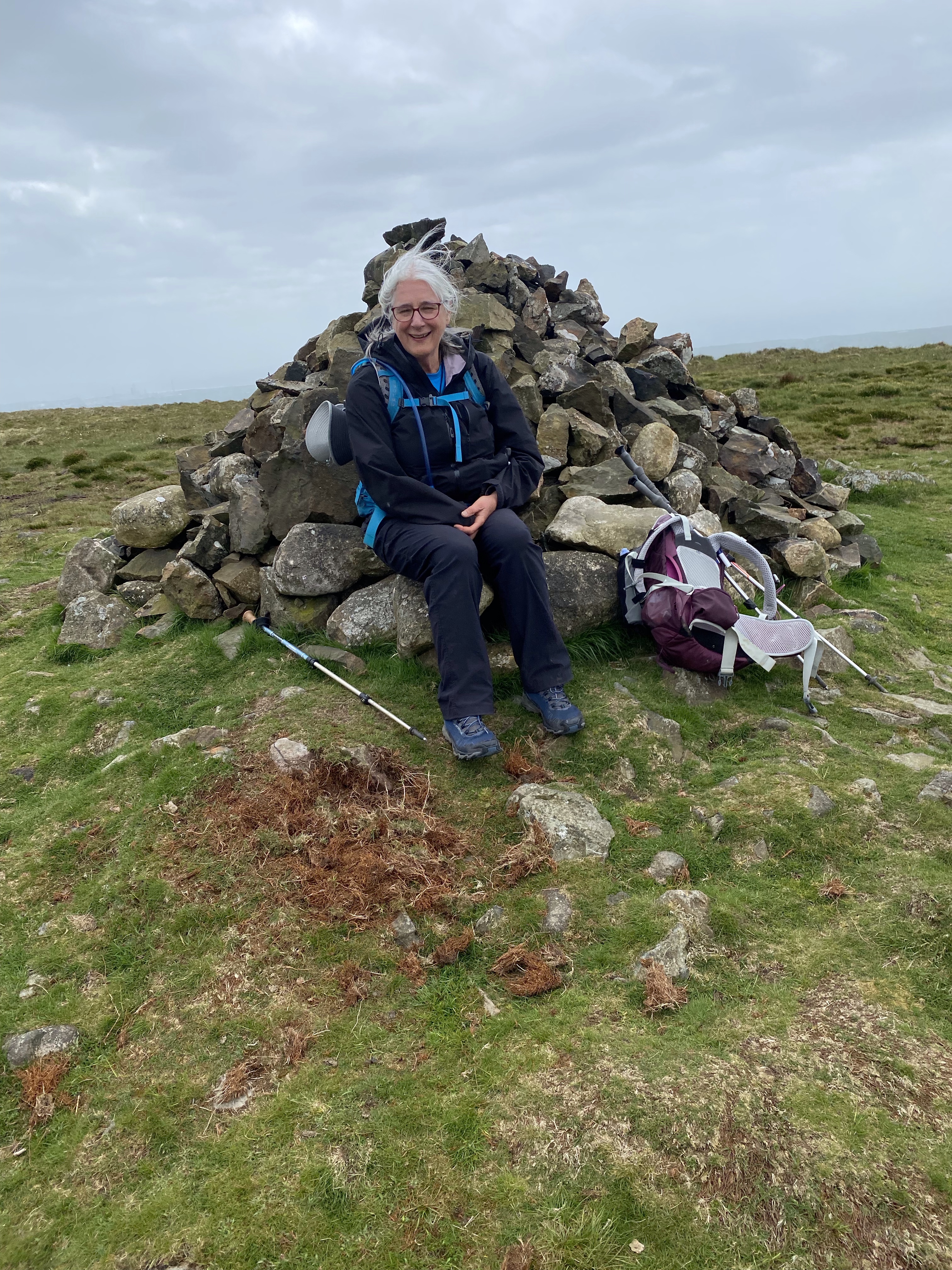
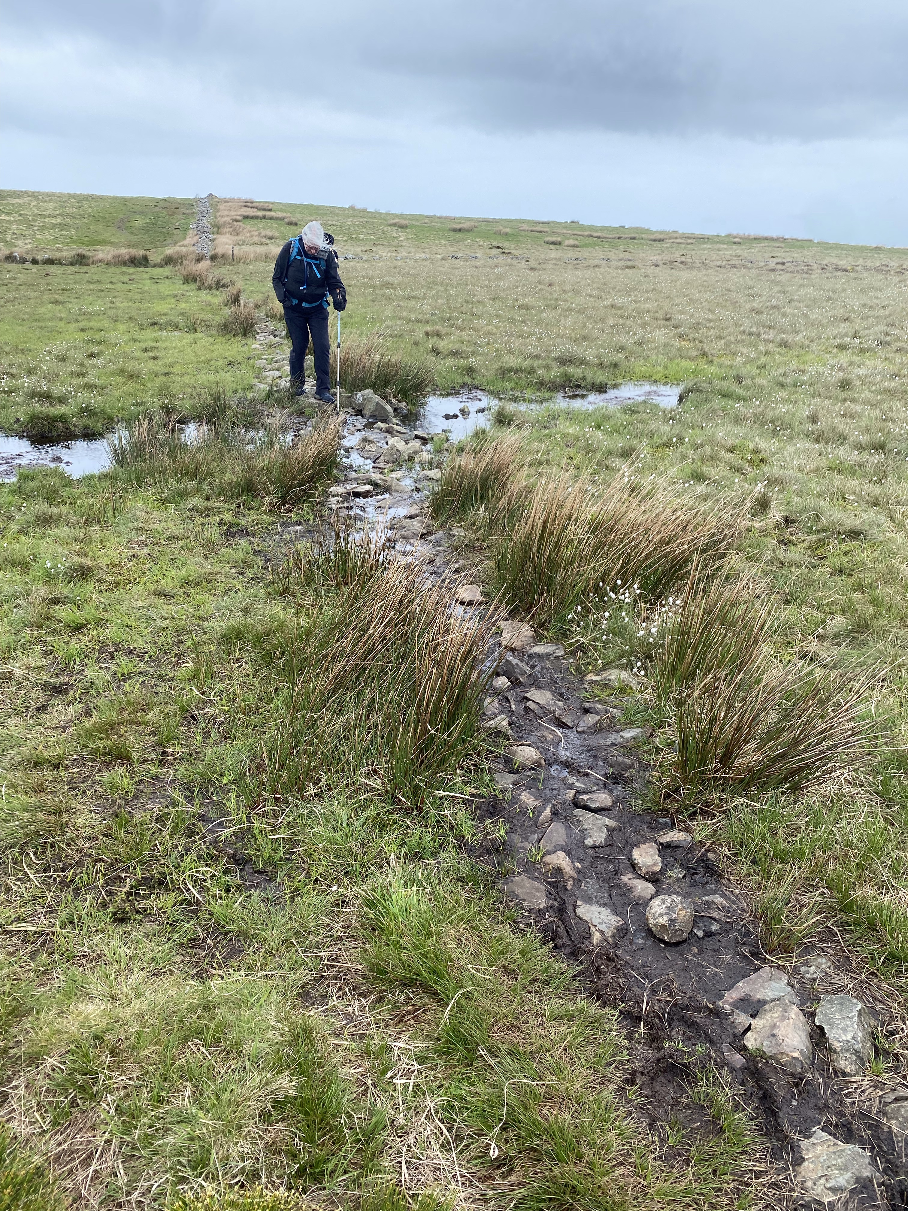
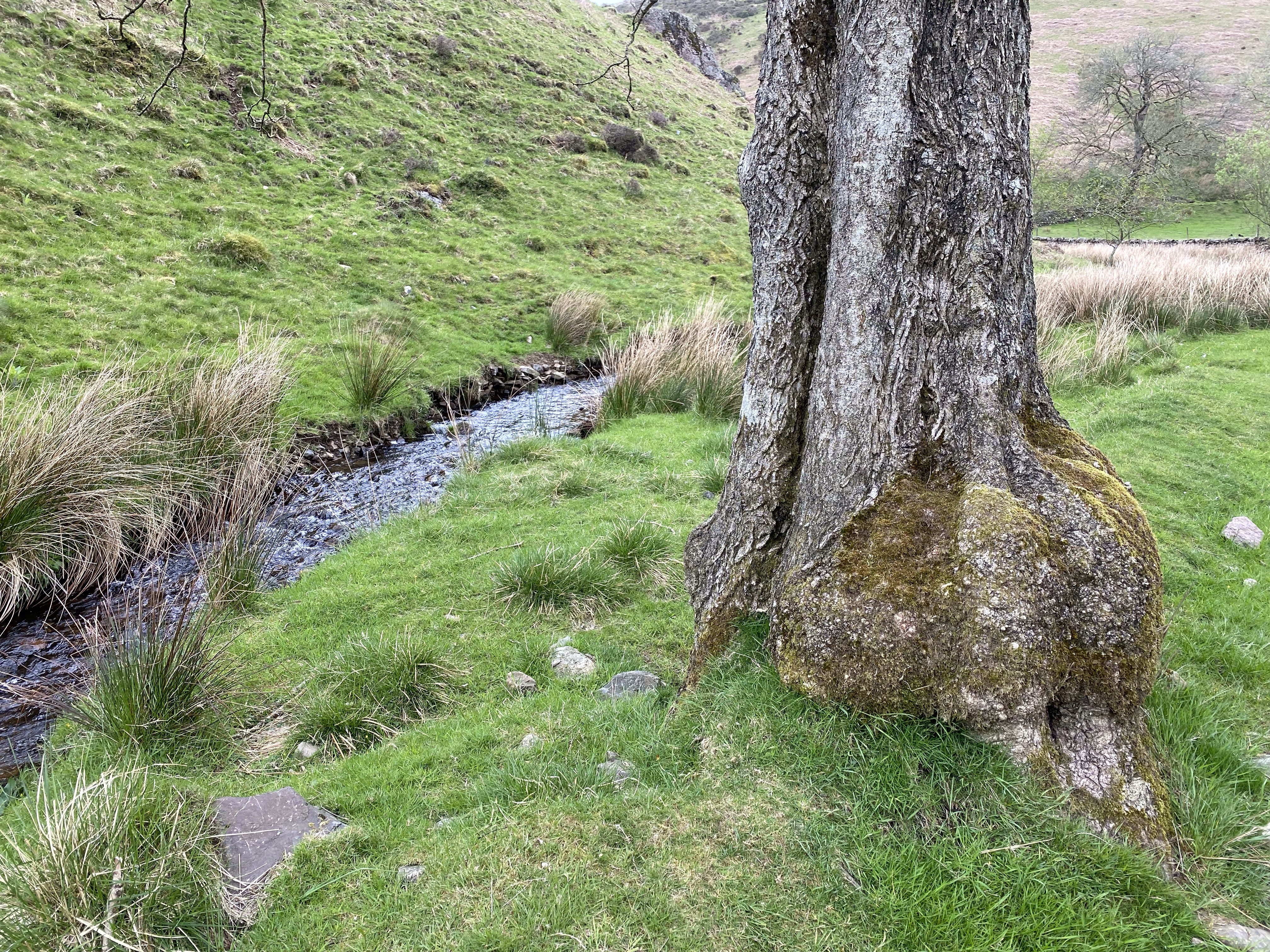
What was spectacular and challenging was the WIND! It knocked us off stride at times but fortunately it was at our backs as we climbed Dent Hill. It wasn’t cold, just fierce. The climb itself was not nearly as bad as described in the guidebook. Once at the top, we sheltered behind a cairn to try to get some pictures that weren’t blurry. We didn’t linger long. We went across the top and had a few boggy spots to cross but then came the descent. That was as steep as the guidebook described. Nancy chose to skirt out and around to make her own switchbacks while I went straight down. After a little ways, it was almost like steps because the dirt had hardened where people have stepped. I usually like going downhill but that was a little too steep even for me. After we were down we headed up a valley called Nannycatch and then followed a nice path along the road into Ennerdale.
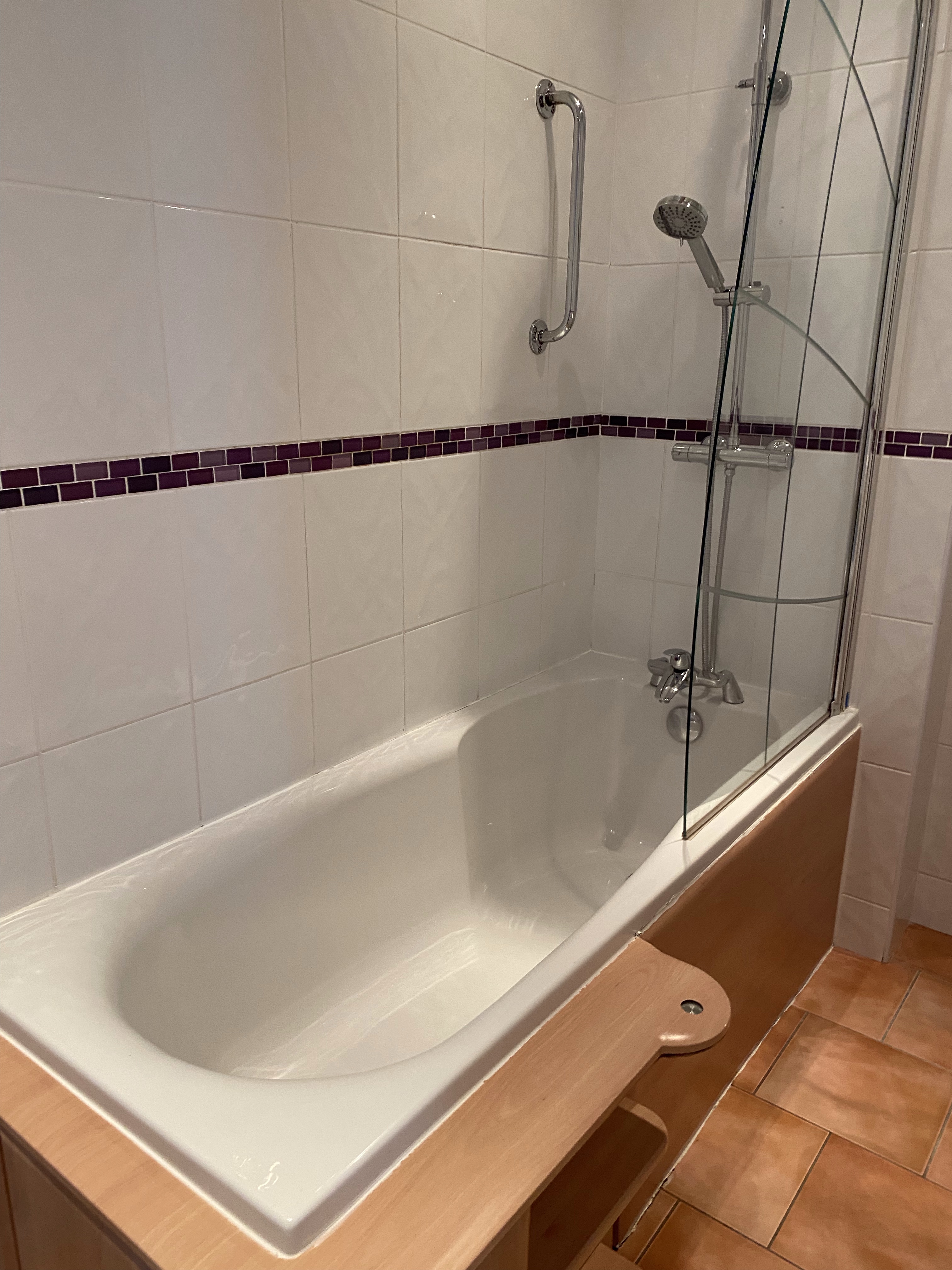
My room is lovely. I can’t wait to try out the bath and the bed. We ate dinner tonight at the place where we are staying, The Shepherds Arms. Dinner was excellent; I had a pork fillet and mushroom stroganoff over wild rice, garlic bread, and salad. I was so disappointed that I was too full for dessert. I was looking forward to sticky pudding and ice cream!


2 responses to “To Ennerdale Bridge, Day 2”
We too hiked the Head the day before. But when we took the short cut the next day, we missed a turn (before Alltrails) and ended up closer to the “Head” than we intended! The wind is fierce – wow! Hopefully, it will abate. This brings back great memories of my 2014 trip. I’m looking forward to lots more posts.
LikeLiked by 1 person
The Garmin really helped us. When we did the head we were unsure at one junction and asked a couple that happened by walking the head in reverse. We followed their advice and then realized we needed to alter our original plan. It just shortened our route which turned out to be okay.
LikeLike